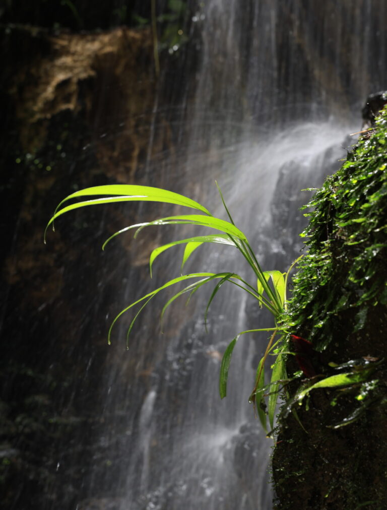
Photo of the Month (August 2024 Edition): Serenity
The westernmost point of Brazil is in the state of Acre. It is the springs of the Moa River, located in the Contamana Mountain Range, also known locally as the Moa Range or Serra do Divisor, a name that refers to the border with Peru. This range, whose highest point stands at 609 meters above sea level, is a unique geological formation in the Brazilian Amazon, as it originates from the uplift of the Andes. Due to the unusual mountainous landscape amidst the vast Amazonian plain, the region’s main tourist attractions are the numerous waterfalls, accessible by trail or via the Moa River.
To reach the Serra do Divisor, it took a 15-hour bus ride from Rio Branco to Cruzeiro do Sul. From there, I caught a ride to Mâncio Lima, where I had the opportunity to attend the Atsa Puyanawa festival, the traditional cassava festival of the Puyanawa people. From Mâncio, it’s another eight hours by boat through the countless bends of the Moa River to finally arrive at the Serra do Divisor. Thus, I left Rio Branco on a Saturday at 7 am and arrived at the camp on Monday at 4 pm. The same happened on the return trip, leaving at 7 am on a Friday, to arrive back to Rio Branco before lunchtime on Sunday, totaling six days of travel.
Despite all this effort, I stayed only three full days there. They were intense days of exploring the region, but every minute was worth it. It was a period of much tranquility amidst so much travel, work, and the daily hustle and bustle. As I plan to write a more detailed account of the experience at the Serra do Divisor later (hopefully soon), I decided that this month’s photo should represent the feeling of being in the place rather than showing what it looks like.

This photo, taken at the Cachoeira do Amor (Waterfall of Love), evokes the serenity of the brief moment I had in the far western Brazilian Amazon.

One Response